Batwara: Land Split Calculator
Measure a plot by GPS or on the map, then divide it into equal or unequal shares, with a PDF for everyone.

Dividing land starts with one honest number: the real area. Batwara measures it, then splits it.
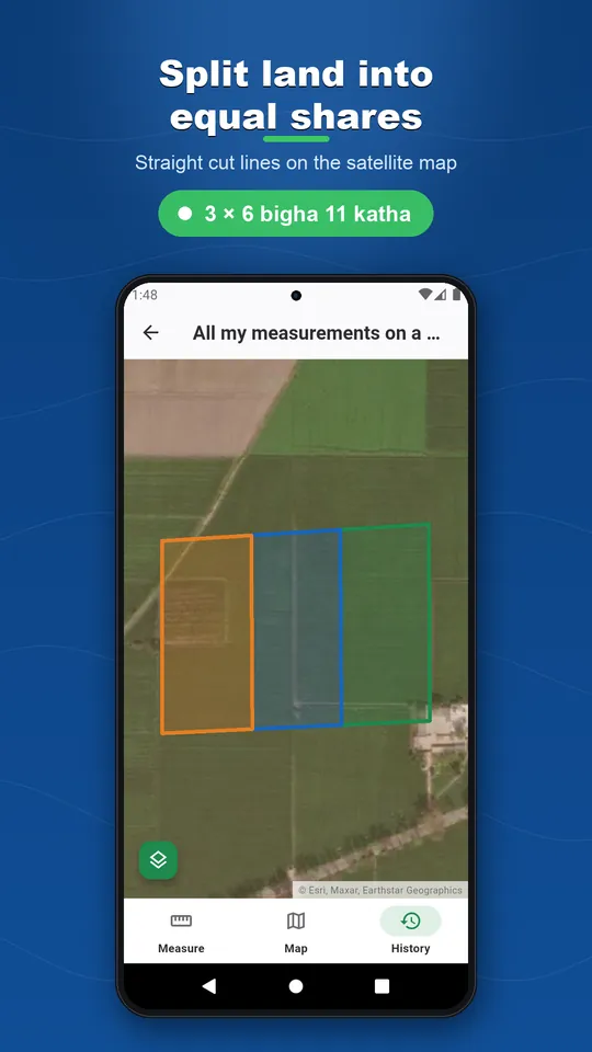
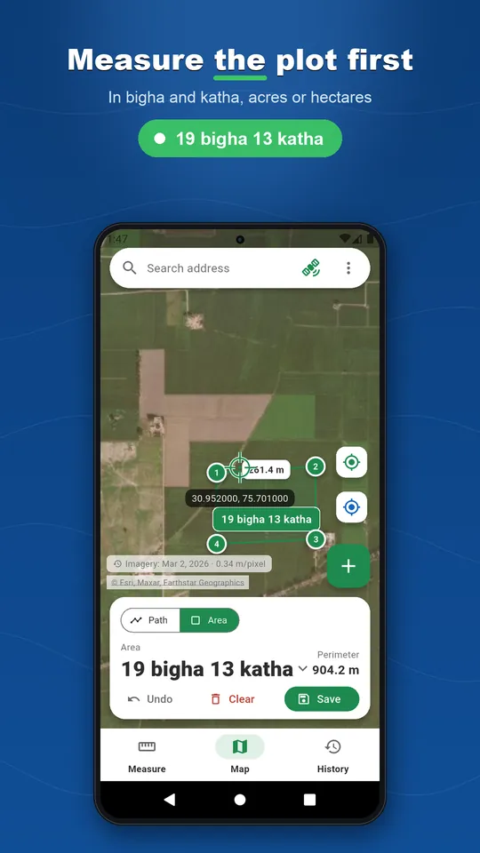
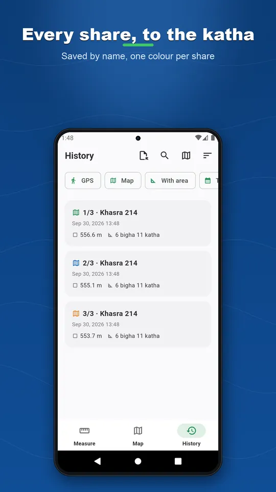
Walk around the plot with GPS, draw it on the satellite map, stand at each corner and let the app average the position, or enter the sides and diagonals measured with a tape, like the village Amin. Then split it into equal shares, into percentages, or one share of a given area, with cut lines parallel to the side you choose. Each share becomes its own saved plot with its area, its sides and its corners.
Bigha, guntha, cent, marla, kanal, ground, acre, hectare, or your own unit, with composite display like 2 bigha 5 katha. Export a PDF with the map to scale, every side with its length and bearing, every corner with its coordinates, and the area of each share. Batwara helps you measure and divide; the legal partition is written by the authorities of your country. No account, no subscription: a single purchase removes ads.
Key features
Measure it four ways
Walk it, draw it on the satellite map, average each corner, or type the sides measured with a tape.
Split it
Equal shares, percentages, or a share of a given area. Straight cut lines, up to twelve shares.
Take out what is not shared
A house, a well or a road drawn as a hole is left out of every share.
Your land units
Bigha, katha, guntha, cent, marla, kanal, ground, acre, hectare, or your own.
A PDF for everyone
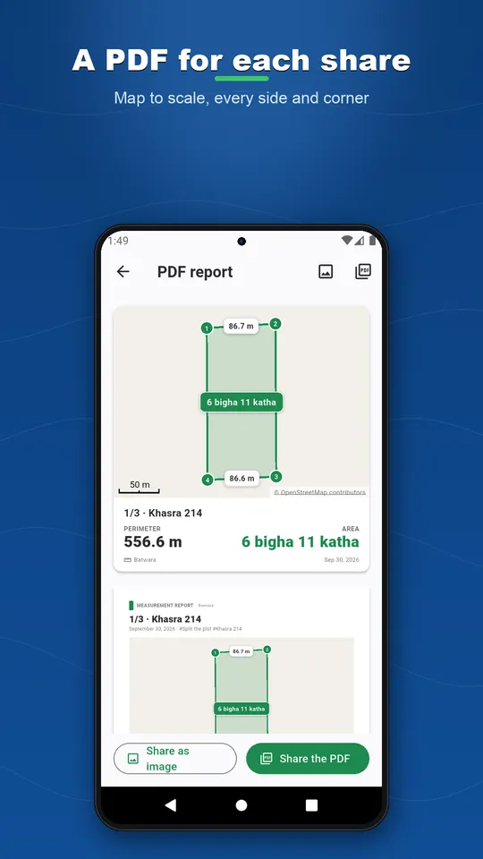
Map to scale, sides with length and bearing, corners with coordinates, area of each share.
No account, no cloud
Offline maps, nothing to sign in to, and your land records never leave your phone.
See it in action
Ready to play?
Download Batwara: Land Split Calculator for free on Google Play.
Discover more
Distance Measure Pro: GPS Area
Tools
GPS distance tracker and land area calculator. Walk it or tap the map. Offline maps, no account.
Fence Calculator + GPS Measure
Tools
Walk or draw your fence line. Get posts, panels, wire and concrete, in feet or metres.
Landscaping Calc + GPS Measure
Tools
Measure the bed or the lawn by GPS or on the map. Get mulch, gravel, topsoil and turf to order.