Distance Measure Pro: GPS Area
GPS distance tracker and land area calculator. Walk it or tap the map. Offline maps, no account.

Measure land and distance. By GPS or on the map, offline, without an account.
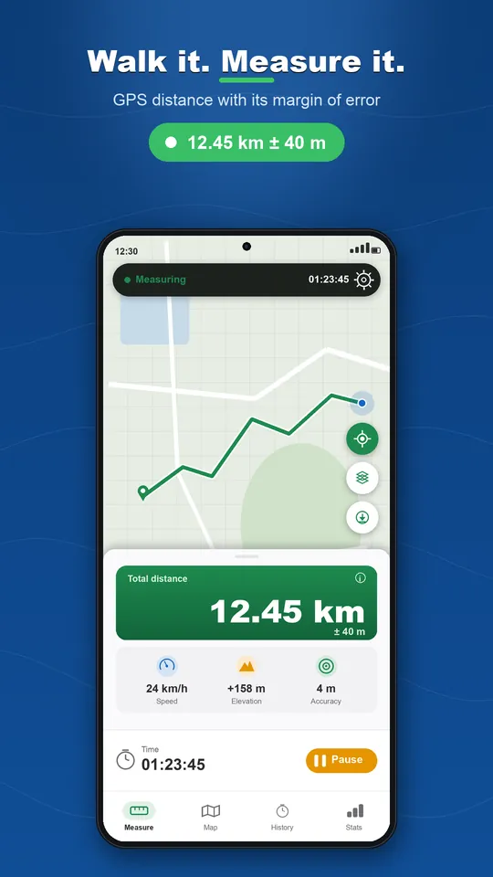
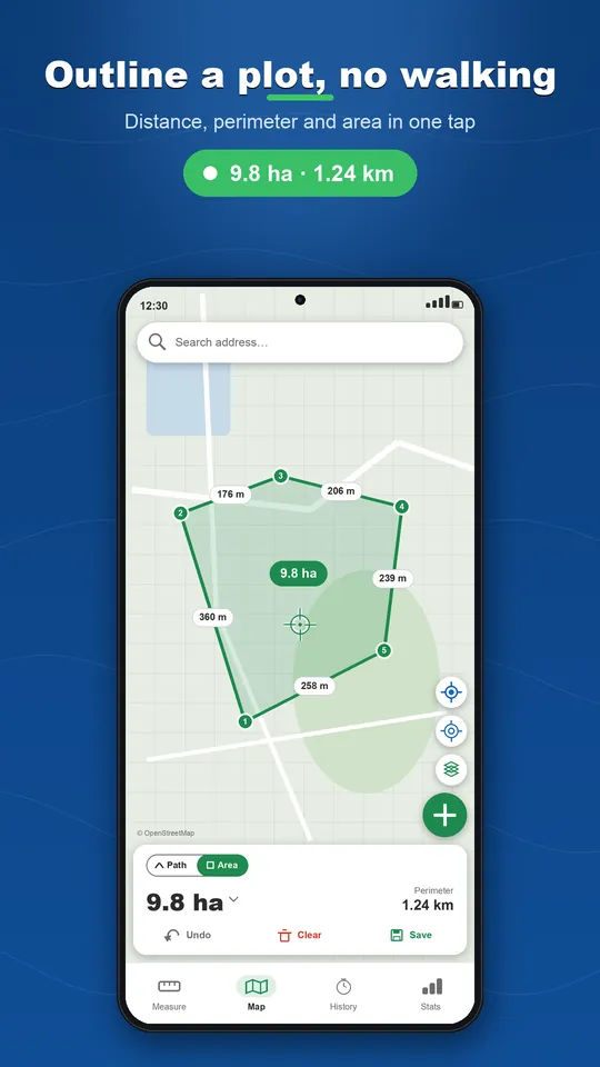
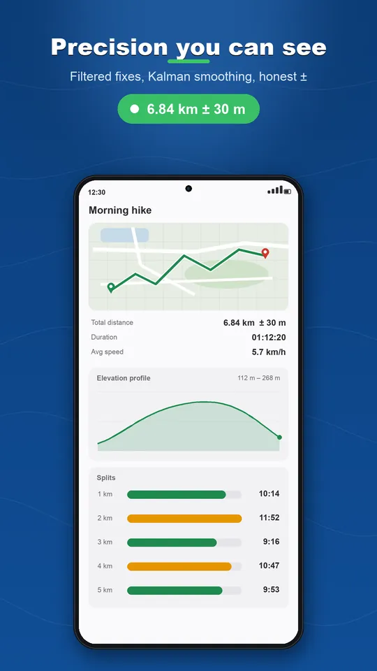
Walk a route and read the distance with its margin of error. Walk around a field and get its area the moment you close the loop, in acres, hectares, bigha or a unit you define yourself. Or outline a plot on the map without moving: distance, perimeter, area, and the length and bearing of every side.
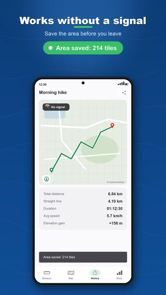
Save the map of an area before you leave and it stays there without a signal. Every measurement is kept on your phone with a name, notes, photos on markers and its own colour, and exports as GPX, KML, KMZ, CSV or GeoJSON. No cloud, no subscription: one small banner, never a full screen ad while you measure, and a single purchase removes ads for good.
Key features
GPS with its margin of error
Kalman-filtered fixes, auto-pause when you stop, and a ± next to every distance.
Land area
Walk the perimeter or outline it on the map. Acres, hectares, bigha, guntha, marla, kanal, or your own unit.
Measure on the map
Tap points, drag a vertex, search an address. Map or satellite, with the length and bearing of every side.
Offline maps
Save an area before you go. GPS never needs a network, and the map stays if you saved it.
Export and share
GPX for Strava and Garmin, KML and KMZ with photos for Google Earth, CSV, GeoJSON, and a full backup file.
No account, no cloud
Your GPS data never leaves your phone. A one-time purchase removes ads, with no subscription.
See it in action
Watch the trailer
Ready to play?
Download Distance Measure Pro: GPS Area for free on Google Play.
Discover more

Crossword Solver & Word Finder
Word Tools
Find any word from the letters you know. Crosswords and anagrams.

Univert: Unit Converter
Tools
Convert units & 160 currencies instantly. Type "5 km to mi". Works offline.

Pixmory: Photo Memory Game
Puzzle & Memory
Turn your own photos into a memory game: 7 modes, 2 to 4 players, offline and free.